

Oil and Gas
McNeill Spatial Intelligence provides geospatial analysis and mapping support tailored to the oil and gas sector. Services include pipeline and facility mapping for midstream operations, spatial data integration, asset visualization, and geospatial assessments that support planning, compliance, and operational awareness.
Work is grounded in disciplined geospatial workflows and practical industry experience. Deliverables are designed to be clear and usable by engineers, planners, and decision-makers across upstream, midstream, and downstream environments.
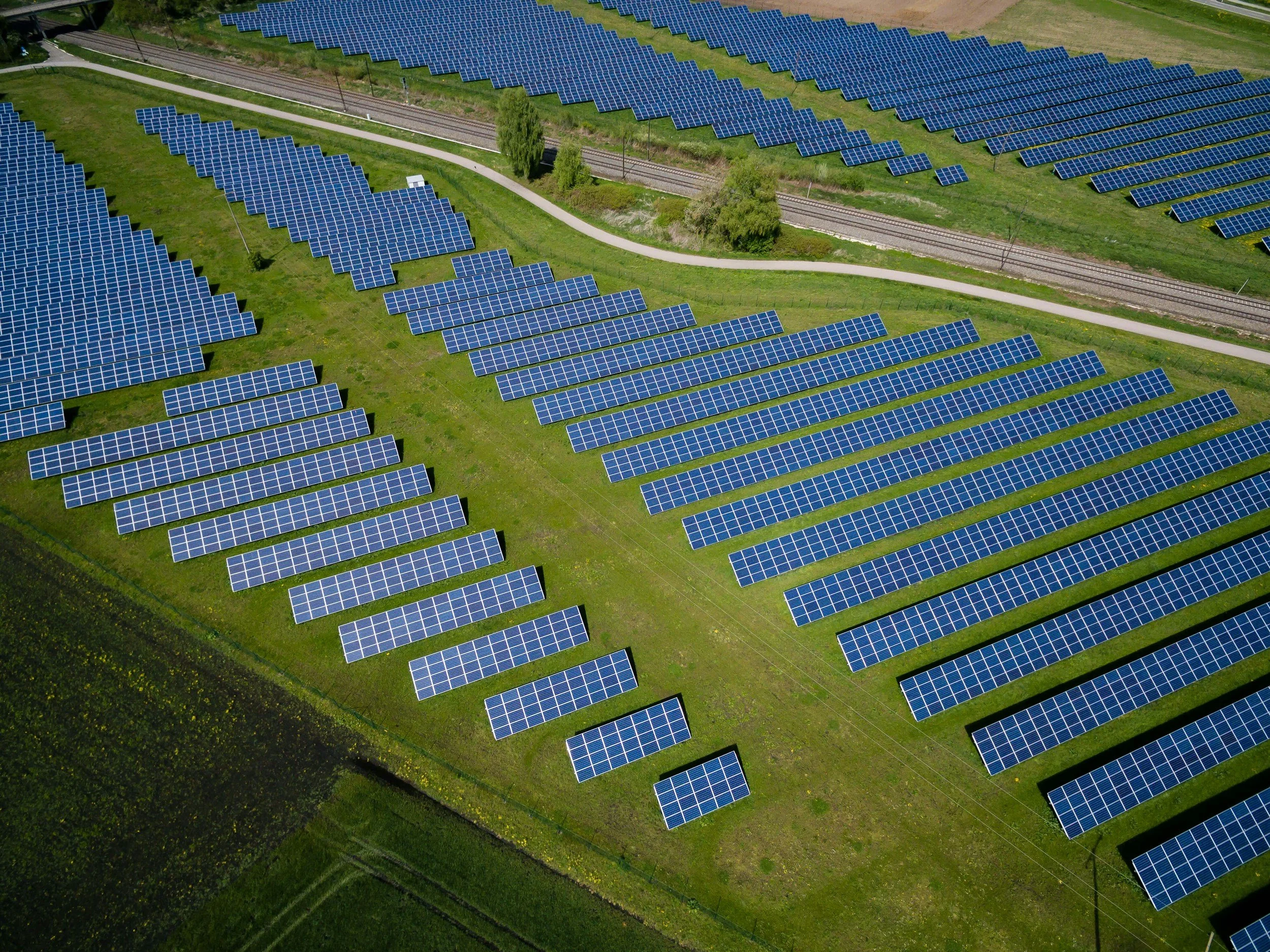
Renewable Energy
McNeill Spatial Intelligence provides geospatial analysis and mapping support for renewable energy projects, including solar, wind, and emerging infrastructure. Services support site selection, land suitability analysis, environmental and constraint mapping, asset visualization, and spatial data integration across the project lifecycle.
Work is focused on clarity, defensibility, and decision support. Geospatial products are designed to help developers, planners, and stakeholders evaluate risk, optimize placement, and manage spatial complexity in renewable energy environments.