
Nothing Unseen. Grounded Analysis.
WellSpy is Live
Our Texas Oil & Gas Intelligence platform is now live! WellSpy is built with Operators, Landmen, and oil and gas Analysts in mind. The platform is meant for anyone with a stake or interest in Texas Oil & Gas data.
-
Every RRC-reported well in the state, updated monthly with provisional data flagged.
-
Statewide, District, Operator, and Field-level production trends going back to 1993.
-
Deep-dive into any operator. Lifetime Volumes, lease portfolio, regulatory health.
-
Search and monitor RRC docket filings. Violations, hearings, and regulatory actions available by operator.
-
Build a personal watch list and track the wells that matter to your operation.
Commercial Drone Imaging and Geospatial Services Delivered with Precision.
A Different Geospatial Partner
-
Legally compliant commercial drone operations with documented flight planning and airspace coordination.
-
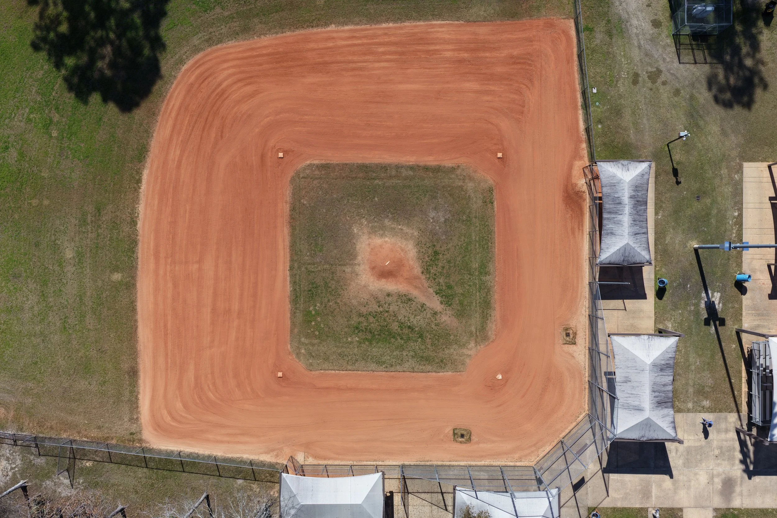
Captured in native 4K resolution (3840 × 2160), providing four times the detail of standard 1080p HD. This allows for sharper imagery, clearer subject definition, and improved post-processing flexibility.
-
Over a decade of experience as a geospatial analyst specializing in imagery interpretation, terrain analysis, and spatial data modeling. Background includes operational intelligence support and professional GIS production workflows.
-
Veteran owned and operated by a former U.S. Army Geospatial Intelligence Analyst with 12 years of service. Built on discipline, accountability, and mission-focused execution.
-
Large geospatial firms offer scale, but McNeill Spatial Intelligence offers focus. Every engagement is approached as a partnership, not a transaction, with solutions tailored to the client’s specific operational, regulatory, and decision-making needs.
Understanding Location is Leverage for your Business
Footage from our latest flight!
Discover Our Services
Aerial Site Imagery
We offer 4k resolution aerial imagery and videography. Imagery and GIS data can be used to highlight access, utilities, zoning, advertising, and much more.

Construction Progress Intelligence
We provide georeferenced aerial mapping and 3D modeling to measure site progress, earthwork volumes, and schedule deviations.
Clients gain objective oversight that improves contractor accountability and reduces costly delays.

Infrastructure Inspection & Condition Mapping
We use drone capture and spatial analysis to identify defects, quantify asset condition, and prioritize maintenance before failures occur.
Clients reduce operational risk, extend asset life, and can allocate capital based on measurable data.
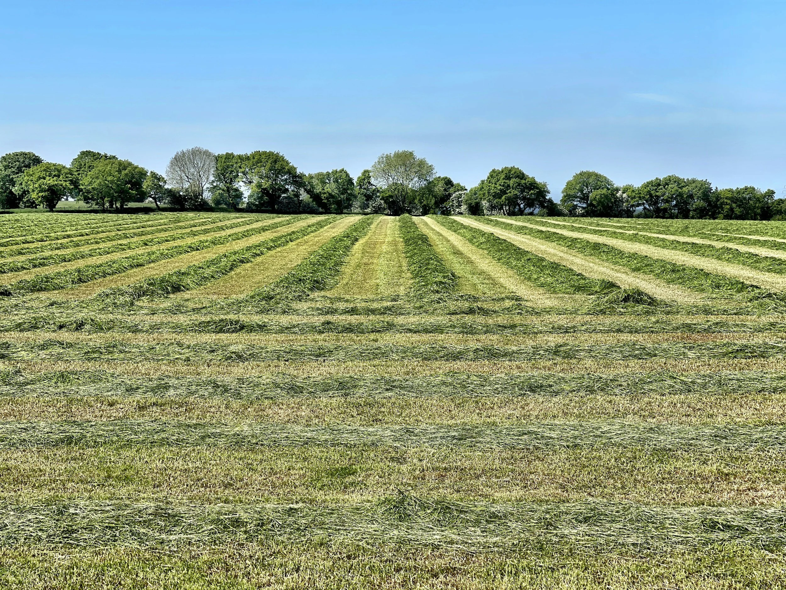
Land & Agriculture Intelligence
We generate vegetation health and soil data from drone imagery and spatial modeling.
Clients optimize land productivity, reduce input waste, and make data-backed land management decisions.
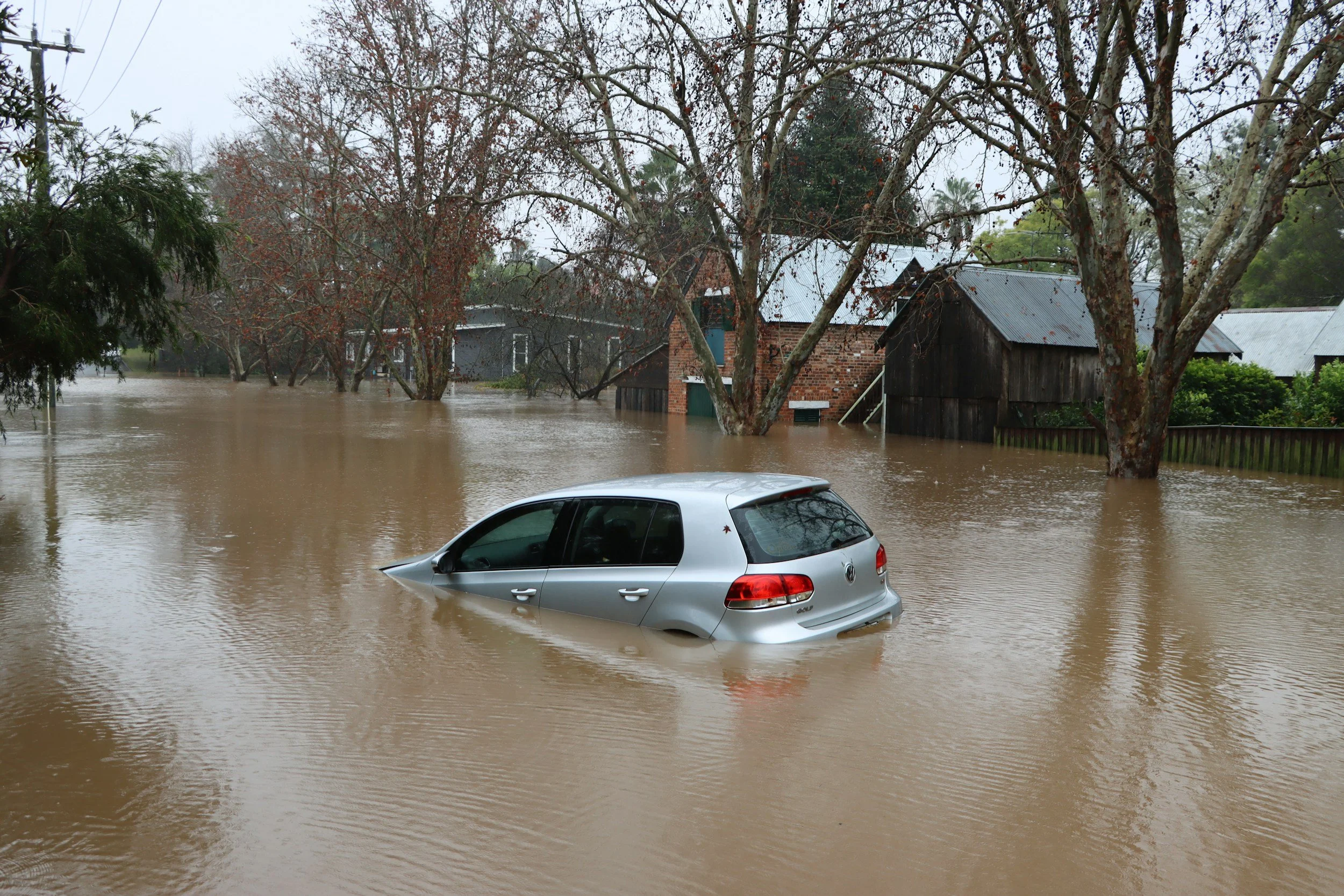
Flood Risk & Storm Impact Modeling
We analyze elevation, floodplain data, and post-weather drone imagery to quantify exposure and document damage with precision.
Clients gain defensible documentation for insurance, compliance, and mitigation planning.

Security & Risk Intelligence
We combine aerial reconnaissance and terrain analysis to identify vulnerabilities, line-of-sight exposure, and risk corridors around critical assets.
Clients strengthen physical security posture using geospatial threat modeling rather than taking reactive measures.
Learn More About Us

Want to know more about our team and your future partner?


Contact Us
Every engagement begins with a clear understanding of your objectives. Use the form to the right to initiate a confidential discussion regarding your requirements. Inquiries are reviewed directly and handled with discretion.
Phone: 832-741-4067
Email: scottmcneill@mcneillspatialintelligence.com