
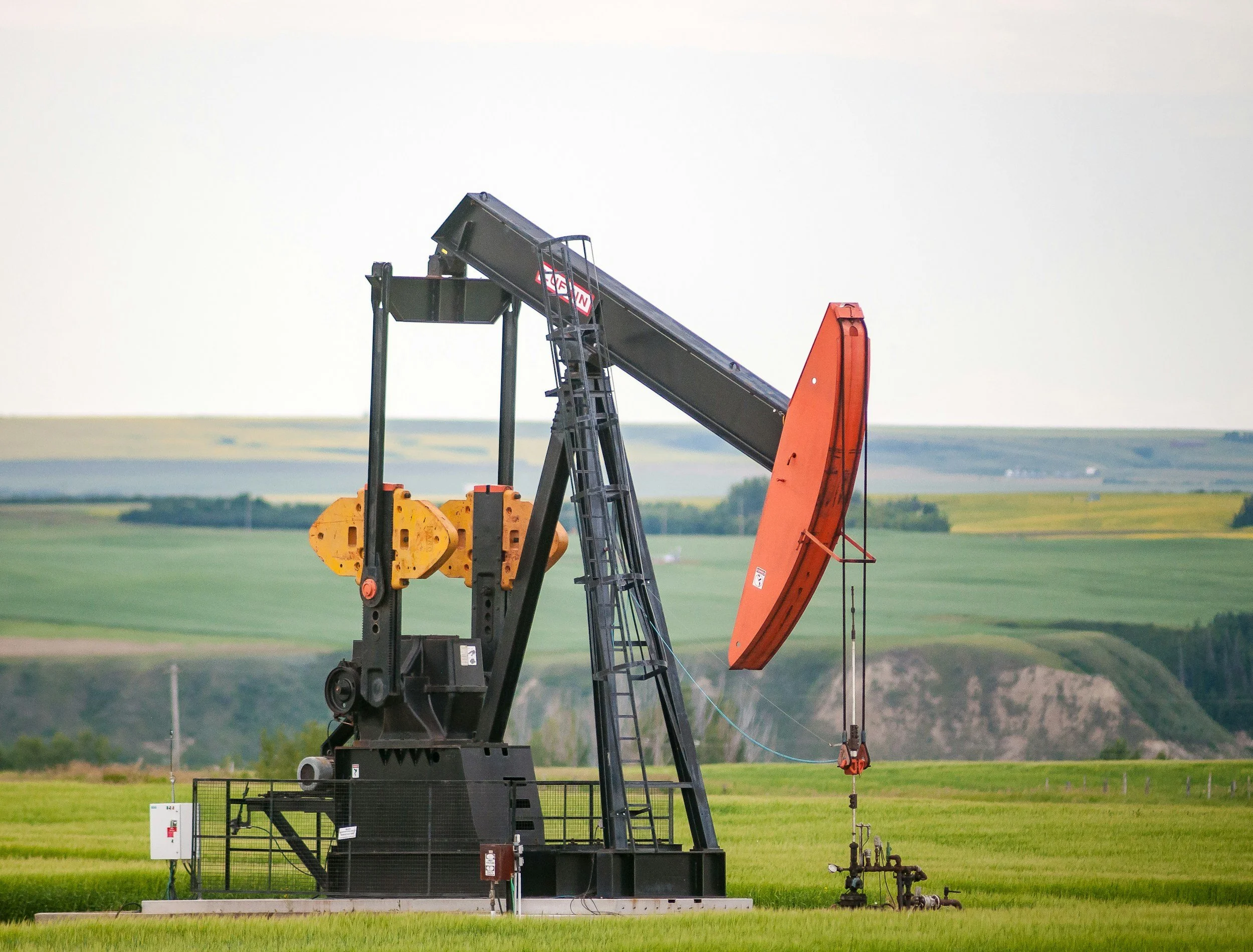
Oil and Gas
McNeill Spatial Intelligence provides professional drone-based aerial imagery and geospatial data services supporting oil and gas infrastructure across the Greater Houston region.
Using our services you’ll gain enhanced asset visibility, improved operational awareness, as well as support for compliance reporting.
Oil and Gas Services
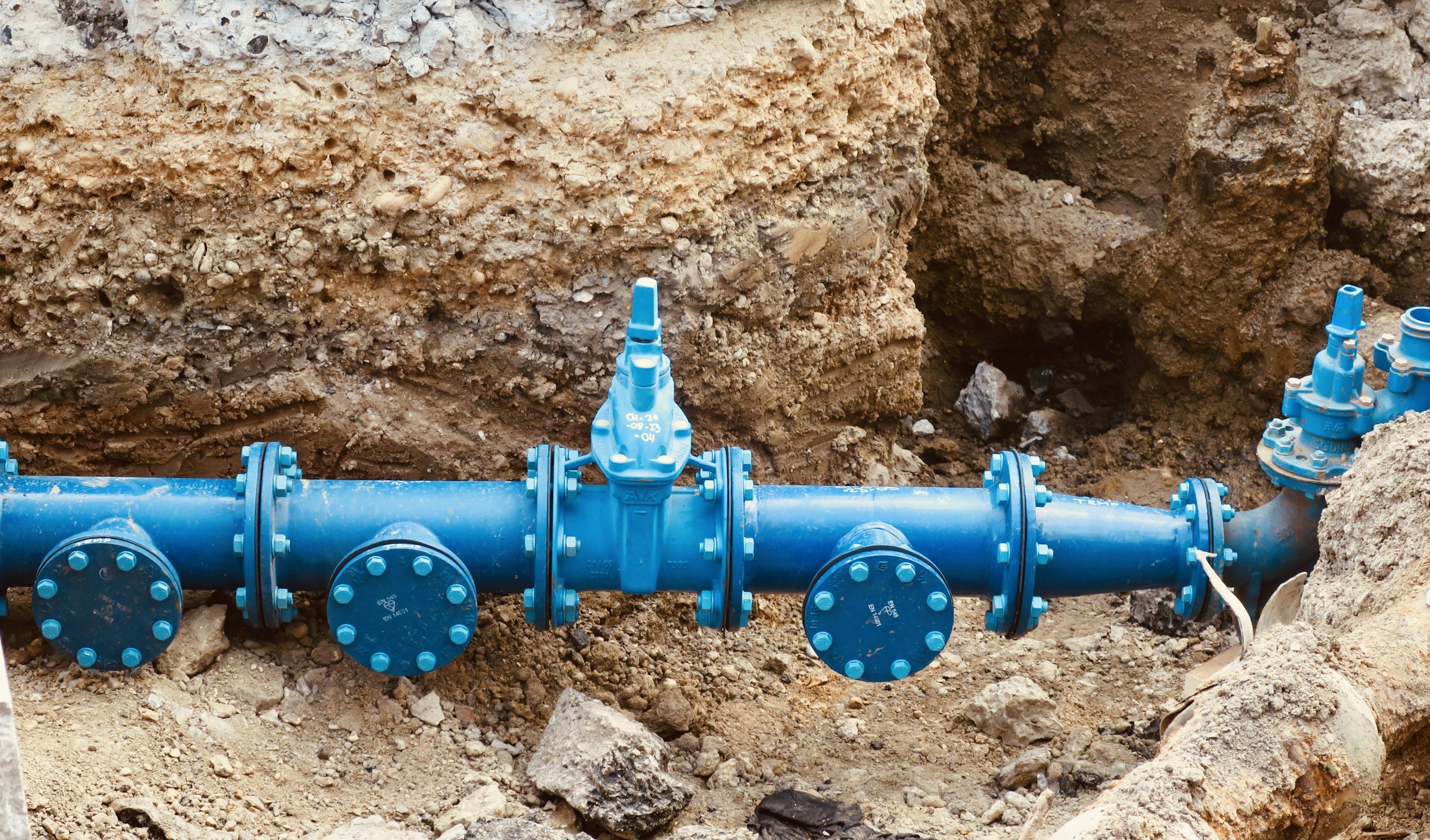
Pipeline Corridor Documentation
-
High-resolution aerial imagery capturing the full extent of pipeline right-of-way corridors. Provides a clear visual record of easement boundaries, surface conditions, and encroachments. Ideal for compliance documentation, landowner disputes, and regulatory reporting.
-
Aerial monitoring of pipeline corridors to identify trees, brush, and vegetation growth that may pose a risk to pipeline integrity or right-of-way compliance. Imagery can be captured on a recurring schedule to track growth patterns over time and support vegetation management.
-
Aerial identification and documentation of soil erosion, washouts, and ground disturbances along pipeline corridors. Provides Geo-referenced visual evidence to support maintenance, environmental compliance, and planning.
-
Precision aerial mapping that produces stitched, Geo-referenced orthomosaic images of pipeline corridors. Deliverables are compatible with GIS platforms and provide accurate, measurable aerial maps suitable for engineering review, asset management, and regulatory submission.

Inspection Support*
(Non-Engineering)
-
UAV-based close-proximity imaging of elevated infrastructure including towers, vessels, tanks, and structural supports. Provides high-resolution visual access to assets that would otherwise require scaffolding, rope access, or lift equipment, reducing cost and safety exposure.
-
Exterior aerial imaging of flare stacks and associated structures to document surface condition, corrosion, signage, and visible wear. All imagery is captured remotely from a safe standoff distance. This service provides visual documentation only and does not constitute an engineering inspection.
-
Close-range aerial photography of structural components including pipe racks, support structures, access platforms, and connections. Deliverables provide a detailed visual record suitable for owner review and can be used to support (but not replace) licensed engineering assessment.
*Documentation support only. Not a replacement for licensed engineering inspection.

Facility and Midstream Site Imaging
-
Compressor Stations
Tank Batteries
Processing Facilities
Meter Stations
Construction Staging Areas
And more
-
Clients receive a organized, high-resolution image library, Geo-referenced site maps, and optional annotated reports highlighting areas of interest. All deliverables are tailored to meet specific asset management or regulatory requirements.
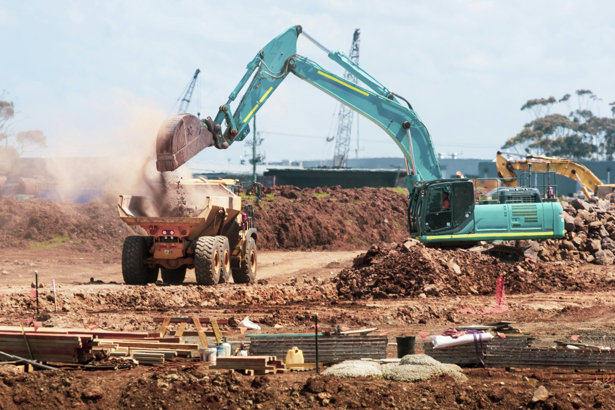
Construction & Expansion Monitoring
-
Scheduled aerial imaging throughout the construction lifecycle provides a timestamped visual record of site progress. Deliverables support project management reporting, owner verification, and contractor accountability at every phase of development.
-
Aerial imagery and mapping used to document grading, excavation, and earthwork activities over time. Supports cut-and-fill verification, site change documentation, and volume estimation when combined with photogrammetric processing.
-
Comparative analysis of aerial imagery captured at different points in time to identify and document changes to site conditions, structures, or land disturbance. Useful for regulatory compliance, environmental monitoring, and project milestone verification.