
Construction
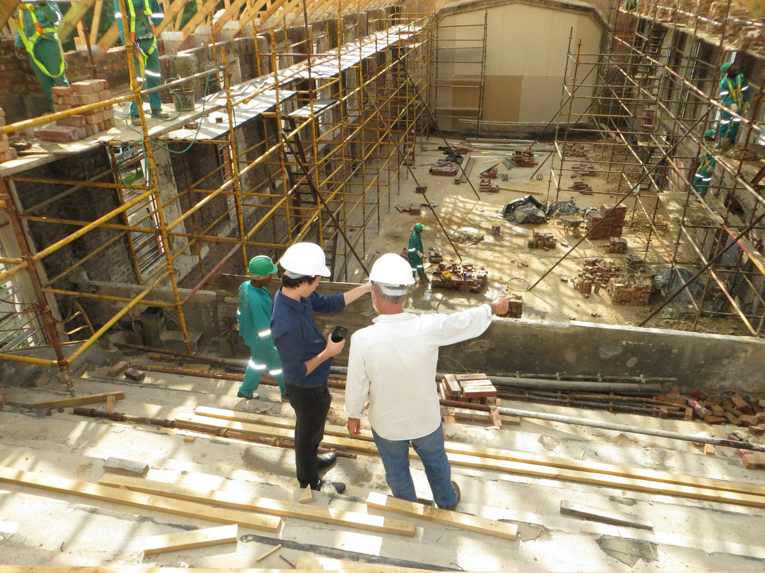
Construction projects succeed or fail on clarity. McNeill Spatial Intelligence provides geospatial intelligence and imagery that reduces uncertainty before it becomes cost, delay, or risk.
We support contractors, developers, and infrastructure teams with site intelligence, constraint mapping, utility and access visualization, progress context, and decision-ready spatial products that integrate seamlessly into planning and execution workflows.
Our approach is disciplined and purpose-built. We focus on delivering clear, spatial insight that supports construction, sequencing, logistics, and stakeholder coordination. Every map and analysis is treated as a military operational product, designed to be trusted in real project environments where accuracy and clarity directly impact outcomes.