
Agriculture
Agriculture increasingly depends on geospatial technology to make informed, timely decisions across the growing cycle. Satellite imagery and remote sensing enable the identification of crop health by analyzing spectral signatures that reveal plant stress, nutrient deficiencies, irrigation issues, and early disease indicators well before they are visible on the ground. This allows producers to intervene precisely, reducing input costs while protecting yield.
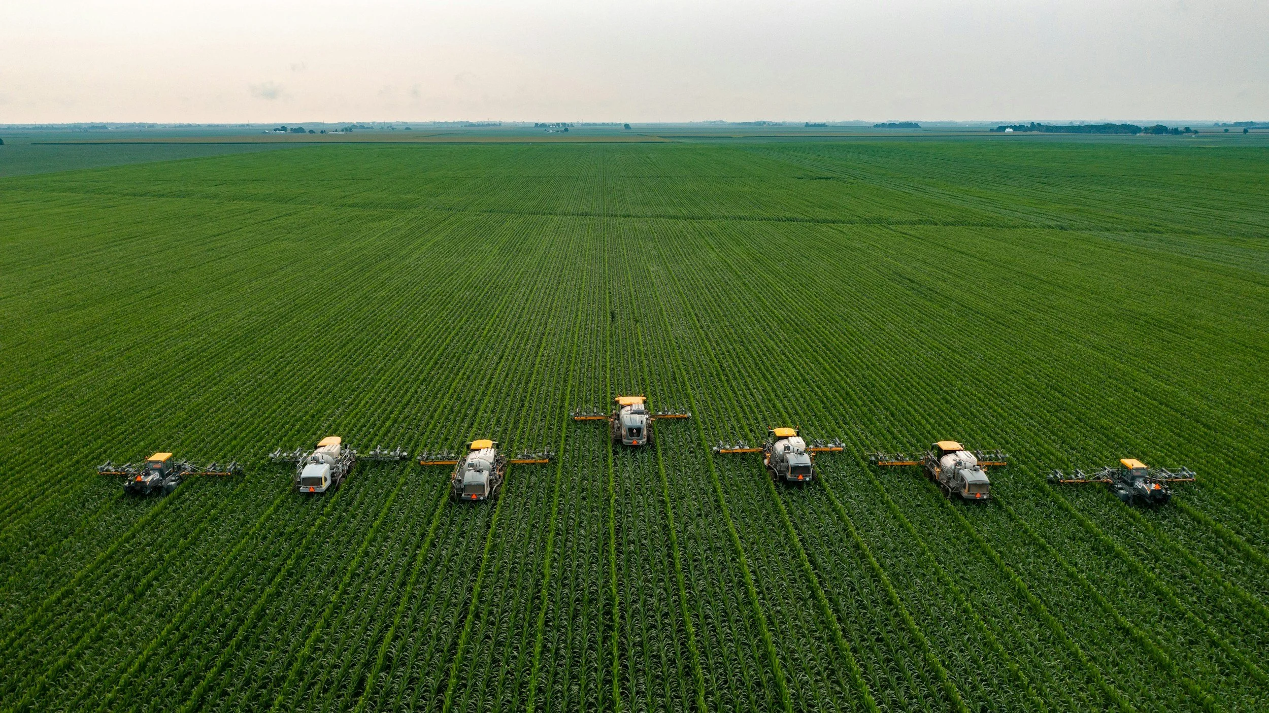
Beyond satellite analysis, modern agriculture leverages a broader geospatial toolkit. High-resolution aerial imagery and drone surveys support field-level assessments, stand counts, and damage evaluations. Geographic Information Systems integrate soil data, elevation, weather patterns, and historical yield information to guide planting strategies, optimize irrigation, and improve land-use planning. Together, these technologies transform raw spatial data into actionable intelligence, helping agricultural operators increase efficiency, manage risk, and make defensible, data-driven decisions at scale.